openstreetmap heightmaps
07 jul 2009
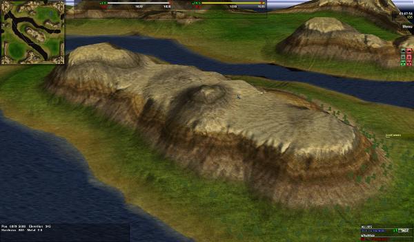
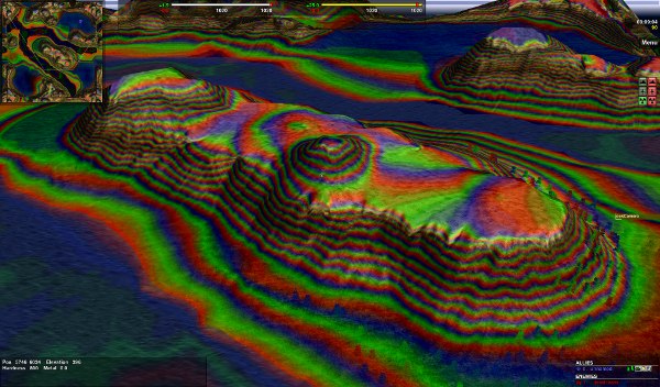
a problem in visualizing maps is how to render the height differences. the spring rts has a very nice solution to this issue, see yourself:
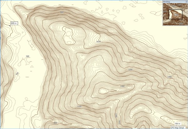
the next two pictures are ordinary renderings. this kind of rendering is commonly used on printouts. this is nice when having a big map in your hand and if the detail level is as low as in the first picture below.
however if the detail level increases as in the next picture (opencyclemap.org renderer) the usability gets lost. at least on very small displays as handhelds having sunlight and reflections on the display.
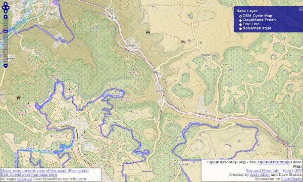
i don’t like using the opencyclemap renderer for biking tours. i’ve tested this quite some times with my openmoko device with the program called: tangoGPS
i would love to have an osm renderer using the spring rts ‘colorful heightmap’ renderer. i could think of a switch between normal osm maps and the heightfield renderer of spring. or even an overlay with local rendering would be cool.
maybe we can come up with such a renderer…